Instructions:
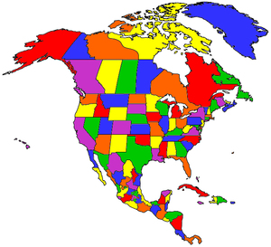
Check the locations you have visited, select a map size, then click Draw Map to create your own customized map of North America. Right-click on your customized map to copy the map or save it to your hard drive. Upload your custom map to your own website, Facebook, Instagram, Pinterest or anywhere!